


A River Remembers
Posted on November 17, 2026 at 2:39 PM by Erica Place
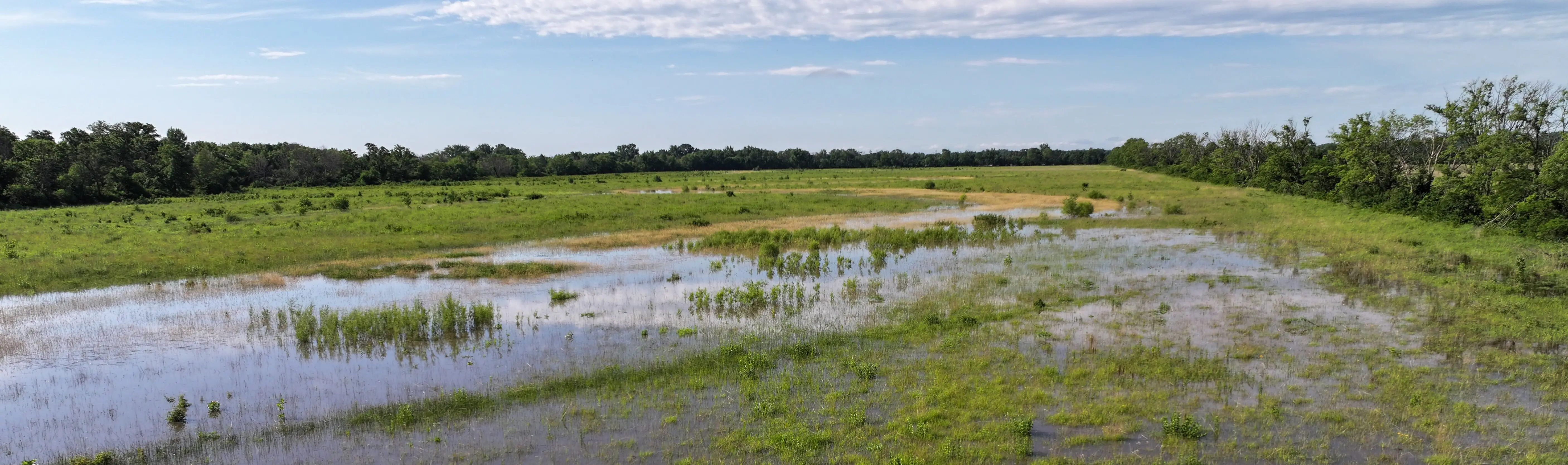
“When the white settlers arrived in the area they found a sluggish stream with low, muddy banks that snaked its way through marshy bottomlands that were two miles wide in places. Each spring the raging floodwaters would cut new channels through the muddy soil, overflowing their banks and filling the bottoms with water, creating one massive lake.” — Cambridge, Iowa: The First 150 Years by Cambridge Historical Association
The slough of despond. A profitless swale. The once terror of the emigrant. For people staking out a new life on the plains, the South Skunk River — then an expansive, braided network of ever-changing channels carved by cyclical floods — was an unwelcome barrier to predictability and prosperity. Lured by promotional pamphlets that encouraged settlement west of the Mississippi, hopeful emigrants had been sold on the promise of high quality of life and endless possibilities for agriculture and industry.
But they were in for a surprise. The pamphlet made no mention of marshes or swamps or flood-prone landscapes, and the river, which was believed to be navigable and held potential as a trade route, was at times more accurately described as a lake. Even if their intended destination was somewhere beyond central Iowa, they still had to contend with the South Skunk to get there. Journals and paper clippings detail travelers being “sloughed out,” wagons so mired down in thick mud that they had to turn back, hope for help, or just wait for the waters to recede.
These early descriptions of the river don’t paint it in a particularly positive light. But the names (and sentiments) early settlers had for the South Skunk aren’t the river’s only names, and our written history captures only a narrow scope of time. While it may have later been a buffer zone between warring tribes, early explorer accounts from the mid-17th century depict Native American inhabitants utilizing the area at least in the growing season, harvesting big game and collecting wild oats that dominated the marshy areas. River names later given to map makers in the early 1880s by the Sauk and Fox (Meskwaki) were some spelling variations of Chicaqua or Shakauk. Most accounts posit this directly translates to “skunk,” in reference to the presence of striped skunk in the area, though others argue it could be related to the large number of wild onions once found in the headwaters.
The mark of progress
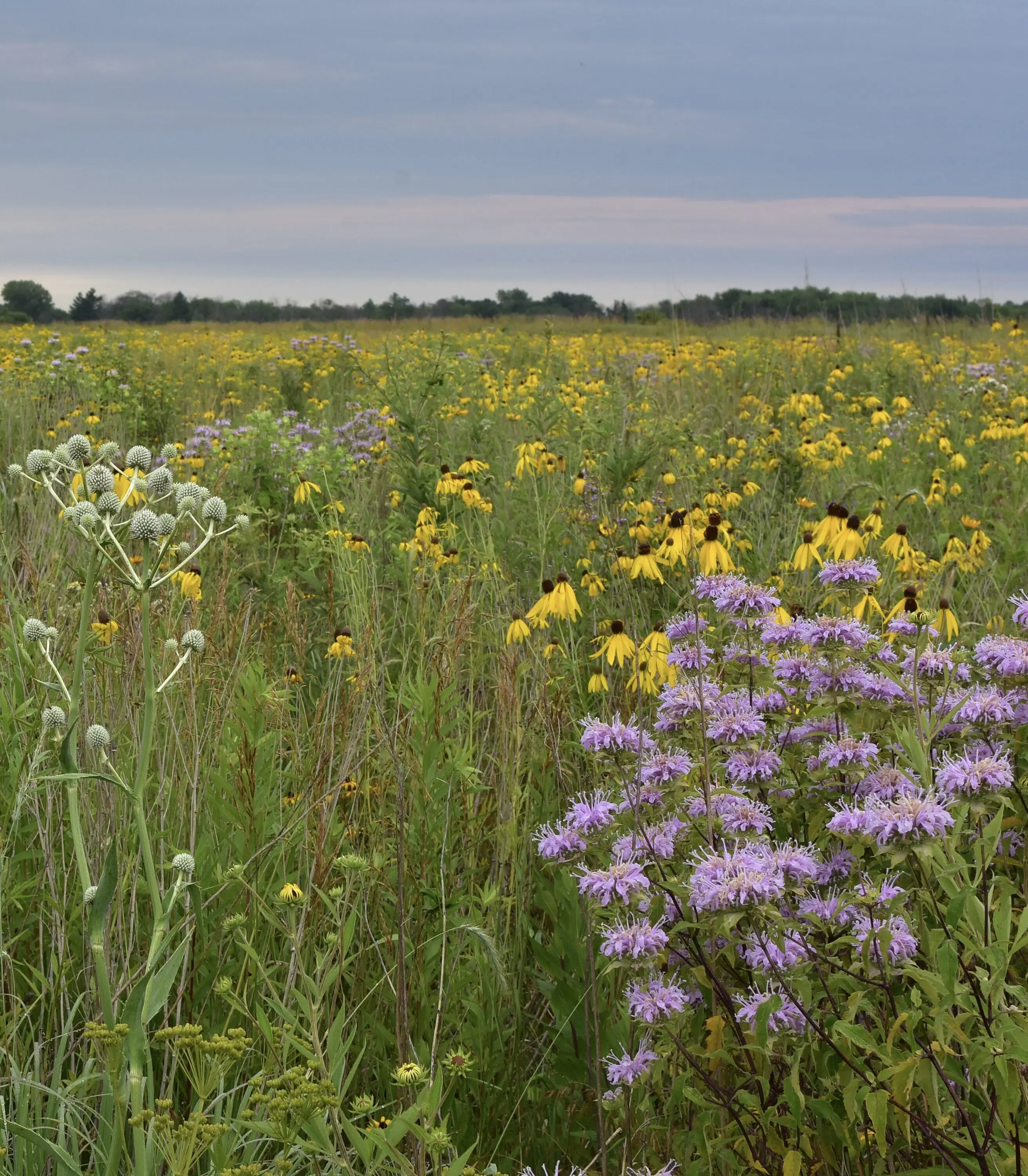 By around 1880, it was European emigrants that dominated the landscape. Most upland prairies had been claimed by the plow, and only the wet bottoms were left for incoming settlers. These areas had been previously passed up due to the required investment to develop them, but it didn’t take a keen eye to see that the slender grasses in the uplands paled in comparison to the lush vegetation covering the floodplain. The swelling river had deposited nutrient-rich silt throughout the bottoms.
Extremely fertile, productive soil was right under farmers' noses, but just out of reach. Though the area was also known for plentiful waterfowl and regarded by some as a scenic recreation spot, the South Skunk River was, in the minds of most settlers, a waste of natural resources. Nature that needed to be improved upon.
“I am inclined to believe when the drift-wood is taken from the channel of the river, and when the flat lands along it are well tiled, where it will admit of it, that the Skunk valley will be among the most beautiful and productive lands we have. I believe the improvements will be such in the next twenty years that this opinion will prove correct” — 1887 History of Story County, Iowa by W.G. Allen
The belief the river needed to be tamed was bolstered by particularly bad flooding in 1881 and again in 1909, both of which claimed livestock, crops and human lives. Iowa legislation passed in 1908 had made it easier to pursue large scale draining, and in short order, a plan to cut a single straight, deep channel that confined water to human-defined boundaries took shape and gained support. A steam-powered dredge was deployed across multiple counties and over the course of a decade, the South Skunk, disconnected from the floodplain and reduced in length by approximately 40 miles through this straightening, was also reduced to a new name: the Skunk Ditch.
For some time, the effort to tame the river seemed successful. Farms were neatly arranged in grids, the soil was dry enough to be worked and commercial agriculture business was booming.
Drainage of Iowa’s wetlands had finally made “worthless” ground profitable, and the march of progress continued throughout the state. By 1950, Iowa had lost around 95% of its original wetlands to make way for row-crop farming.
“At this time a ditch has been cut down the bottoms to straighten the river, and Skunk bottoms, the once terror of the emigrant, is in the summer time a waving field of grain and corn, the richest land in the county.” — James B. Green, 1968
But our attempts to control the South Skunk would prove to be only partially effective.
Disaster strikes
Alterations to the river did little to thwart the floods of 1993, which claimed 17 lives across the state and cost $2.7 billion in damages. Agricultural yields dropped dramatically, and many landowners farming in at-risk areas were left looking for an out, setting the stage for a new relationship with the river we’d tried to best.
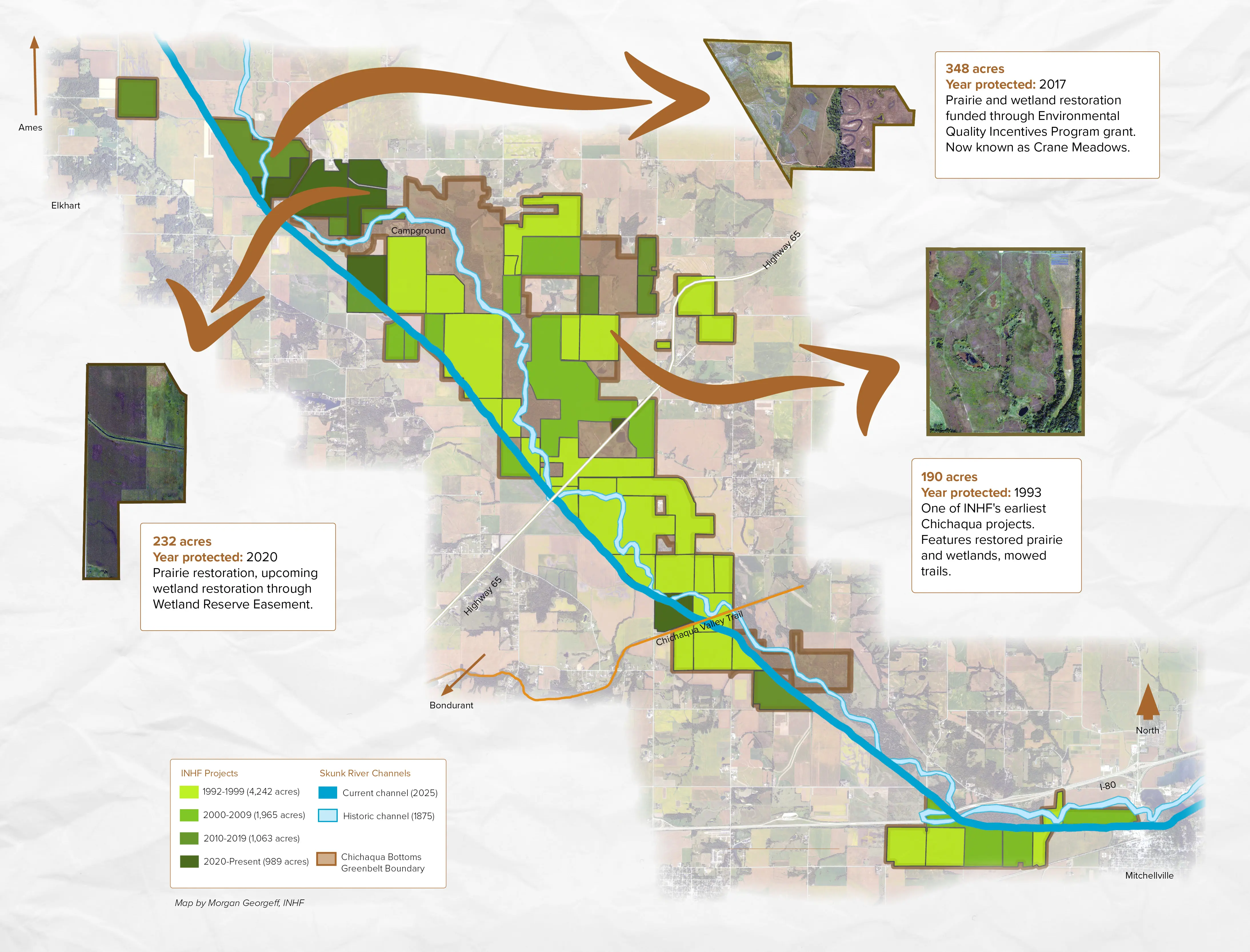
Thirty-three years earlier, in 1960, Polk County Conservation Board had purchased the first 183 acres of what is now Chichaqua Bottoms Greenbelt — a name that honors the river’s original identity. The young organization sought to reawaken the wildness of the once crooked, winding river and restore old oxbows for wildlife habitat and recreation opportunities. Additions to the greenbelt were acquired over the years as the county’s modest budget allowed. Before the floods hit, the complex sat at just over 1,500 acres.
The ’93 floods birthed the Emergency Wetland Reserve Program, making it more affordable for landowners to part with their flood-prone land and try their luck elsewhere, and more affordable for Polk County Conservation to protect it. But even more would be possible through partnership.
Sold on the vision of a healed river reconnected with its floodplain, Iowa Natural Heritage Foundation joined the effort that same year, assisting with a 133-acre addition. The floods of 2008 and 2010 — which would have been even more devastating if not for the protection work done in the '90s — again announced that the Skunk would not yield, and more protection followed as land came on the market. In the 33 years since, INHF has helped add more than 8,200 acres to the wetland complex, guided by the original vision set forth by Polk County Conservation.
“Without Iowa Natural Heritage Foundation, Chichaqua Bottoms Greenbelt would not look like it does today,” says Rich Leopold, Director of Polk County Conservation. “Their assistance over the last three decades — and into the future — is invaluable.”
INHF’s support for the South Skunk extends beyond Chichaqua boundaries, having to date protected nearly 2,700 greenbelt acres in neighboring counties. In addition to protection, INHF has offered restoration support and expertise, allowing these lands to hold water as they were intended and mitigating soil erosion and flooding impacts downstream.
From a natural disaster to a natural process
Today, Chichaqua Bottoms Greenbelt, sitting at nearly 10,000 acres, is a model for solutions-driven land protection centered around a shared view of its highest and best use.
 “INHF has and will continue to look for creative solutions and assist our public partners in healing and repairing the sensitive ecosystems within the greenbelt,” says Joe McGovern, INHF President. “We’re grateful for the willing landowners and many partners like the Iowa Department of Natural Resources, the Natural Resources and Conservation Service, Pheasants Forever, Ducks Unlimited, Polk County Public Works, Iowa Ag Water Alliance, U.S. Fish and Wildlife Service, Great Outdoors Foundation and others who collaborate and offer technical, logistical and financial support, including private donations and a recent grant from Prairie Meadows Foundation.”
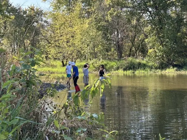
Once perceived as a danger or hindrance, more people are in agreement of the river’s value as a natural landscape that ebbs and flows with seasonal rhythms. The oxbows and flooded backwaters give us cleaner water, better soil retention, important habitat for myriad wildlife, outdoor recreation opportunities and, ironically, insulation from floods.
“It’s becoming again what it wants to be,” McGovern explains. “Now, during high rain events, the wetlands and oxbows and prairies hold water, just like they’re supposed to.”
Instead of dealing with a flood’s costly aftermath and paying to re-establish crops, the one-time investment in protection and restoration pays dividends in a variety of ways. The Skunk’s value again lies in its identity as a natural haven. A mecca for hunters, birders, kayakers, anglers and others drawn to its beauty and abundance. A sanctuary for sensitive plants and wildlife. An economic driver as a destination for residents and visitors.
It was nature as nature knows best.


