Cedar River Watershed Project: Flooding
By INHF on September 21, 2012 in Blog
Written by Larry Stone
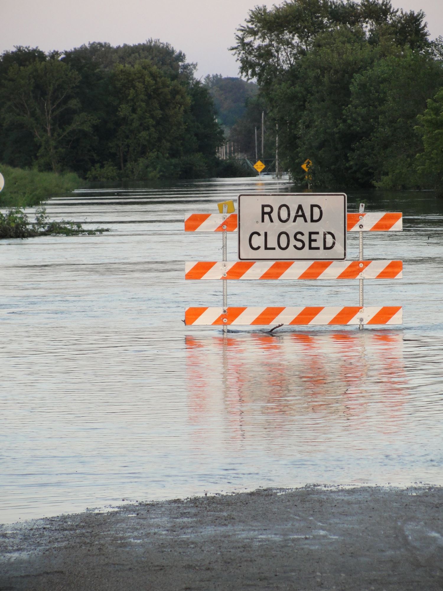
FLOODS!
The mere sound of the word sends chills down the backs of people who experienced the historic events of 2008 . . . or 1993 . . . or other high-water episodes that have plagued Iowa over the decades.
But those memories also should spur us to declare “never again!” – and to plan ways to avert, or lessen the chance of, another catastrophe in the Cedar and other river basins.
Easier said than done?
After all, the Cedar stretches 335 miles from its headwaters in Minnesota to its confluence with the Iowa River, draining 7,830 square miles. Yet the one million residents of that area share something in common: their watershed. And we all live downstream. The actions of our upstream neighbors will affect us. And how we treat our land has an impact on anyone down river.
Rural or urban, near the mouth or up in the headwaters, we're all in this together.
That's the mantra of 23 Iowa counties in the Cedar River watershed, from Mitchell to Louisa. A coalition of County Conservation Boards is helping landowners and other residents better understand the causes and impacts of flooding in the Cedar basin. That information should generate public discussion – and political action – to find ways to mitigate or coexist with the reality of periodic floods.
Over the next few months, this column will be examining several watershed concepts and issues. We hope to introduce more people in the Cedar and other river basins to their watershed communities. For example, we'll discuss how a watershed functions, and how the river can be a barometer of the health of the land.
While we'll meet real people and hear their real stories of how they interact with their watershed, we'll also learn about other “natural citizens” of that same community. How do aquatic and wetland plants fit into the system? What about the animals that may depend on the quality and quantity of habitat in the watershed ecosystem?
We'll look at hydrology, or the study of how water is distributed and how it moves. We'll follow the water cycle from the time a raindrop falls, until it soaks in or runs off into a river, then finally evaporates and rises into the atmosphere to begin the process again.
The way we use our land can have a dramatic influence on the water cycle. We'll discuss how Iowa's native vegetation once captured about 90% of the annual precipitation, allowing only about 10 per cent to run off. Today, due to land use changes, more than half of the rainfall almost immediately runs off into streams or rivers.
The land use also can determine soil health. It should be no surprise that the make-up of our soils has changed after 150+ years of agriculture. We'll look at the rich prairie soil that was the foundation of our state, then compare it with the altered soils in which we grow twenty-first century crops. We'll look at how the health of the soil can affect what vegetation grows there, how much water the soil can absorb, and how easily the soil erodes.
Yes, we'll take a closer look at floods, too. Even though flooding can be part of a natural cycle, we'll see how floods have changed as people have tried to manage and control both watersheds and rivers. Because of that manipulating by humans, the extent, effect, and content of floodwaters may be very different now than before European settlers came on the scene.
With a better understanding of how a watershed works, we'll also propose some possible solutions that could eventually reduce flooding and improve the quality of our rivers. Will we need higher and higher levees to protect vulnerable sites from floodwaters? Are there agricultural changes that might reduce erosion and runoff into our rivers? Can we maintain or restore water quality while continuing to grow mostly corn and soybeans on our cropland? What roles do Iowa's relatively few public lands play in protecting water quality and infrastructure? What about urban landscapes?
Nor can we forget the leisure uses of our rivers and watersheds. Growing numbers of anglers, paddlers, bird-watchers, boaters, and others are drawn to our rivers. Can those streams – large and small – support multiple-use? Might the desire for recreational opportunities curtail the demand for consumptive uses of the same waterway?
Throughout this journey through the Cedar River watershed, we'll be reminding ourselves that “we're all in this together.” And we'll welcome comments from all members of the watershed community.
—–
Originally published by the Cedar River Watershed Project
Learn more about watersheds and how you can protect them.