Nature Walk: Mid-day Clouds
By Taylor on June 17, 2013 in Blog
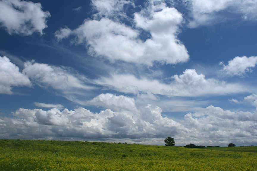
Clouds of all types can transform the appearance of a familiar place. On occasion there may be a mixture of types that are at different altitudes and headed in different directions. In this photo you see puffy cumulus clouds traveling from right to left (south to north). In the center of the photo thin, wispy cirrus clouds were going 90 degrees from the cumulus or eastward. Cirrus clouds are composed of ice crystals, and cumulus are formed with water vapor. Cumulus clouds can grow to form towering thunderheads and bring rain showers.
Do you know the difference between the types of clouds? Where do you go to enjoy a break from the grey cumulus clouds that have scattered Iowa with rain the past few weeks?
If you are interested in purchasing a print of this photo or requesting information on possible use of any of our “Nature Walk” photographs, please contact Carl Kurtz at Carl Kurtz cpkurtz@netins.net.
View our other “Nature Walk” posts.