The Karst Topography of Northeastern Iowa
By Taylor on February 15, 2013 in Blog
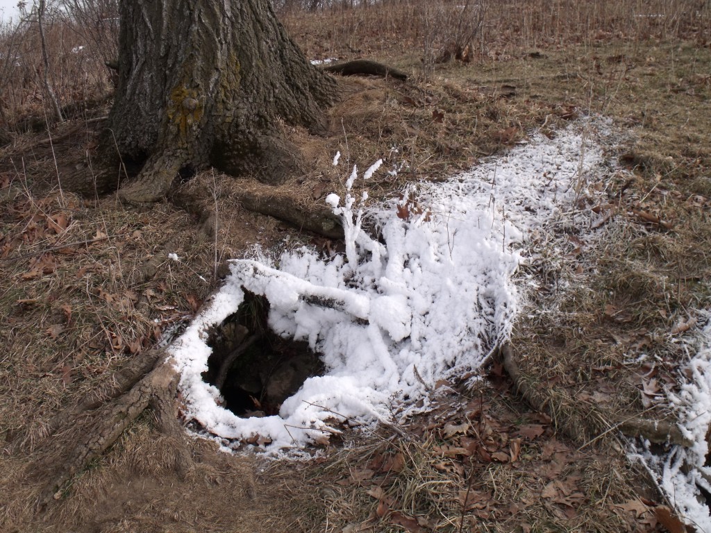
This photo of a sinkhole located on an INHF conservation easement near Decorah was captured by Steve Carlson of the Seed Savers Exchange.
Northeast Iowa is typically known for its gorgeous waterways and scenic overlooks – but what you may not know is that northeastern Iowa is also home to a fascinating array of karst topography.
Simply explained, karst terrain is characterized by the presence of easily dissolved bedrock, like limestone or dolomite, located very close to the ground surface.
Northeastern Iowa sits atop a Paleozoic plateau, an area where there is a widespread existence of Paleozoic-age sedimentary rock and in some areas a low amount of topsoil. Over time, this type these Paleozoic mineral deposits harden, become brittle rock strata, and fracture from the Earth’s crustal movements, creating deep vertical cracks.
Over time, soil erosion and continued disintegration of limestone bedrock eventually causes some of the region’s rugged blufflands as well as shallow caves or sink holes to form. Since many of these karst openings have subterranean waterways below, frost will often form around the mouth of a sinkhole during the winter (as pictured above).
Interested in learning more about karst features in Iowa? Arguably one of the most spectacular is Cold Water Cave, just east of Kendalville in Winneshiek County. Check out this video, produced by Iowa Public Television, for a breathtaking look inside the cave.
Want to see one in person? Consider a visit to the chimney rocks visible while paddling the scenic waterways of the Upper Iowa River between Kendallville and Bluffton.