Site selection & trail type
In Iowa, regional and community trails are typically created one of two ways: re-purposing a former rail corridor or piecing together public and/or private lands. Each have their own pros and cons and take a different approach to complete.
Rail-trails
Identifying a discontinued rail line
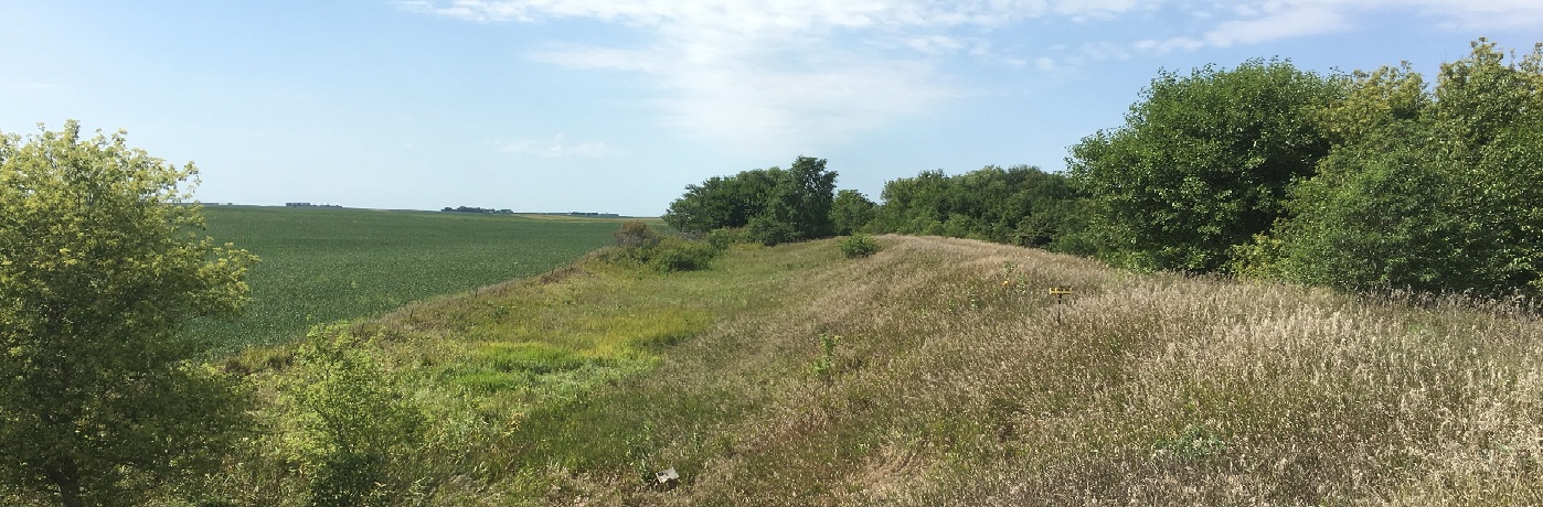
Rail-trails are pathways that have been converted into multi-use trails from former rail lines. In these kinds of land acquisitions, a connected stretch of land, typically about 100 feet wide, is available as a continuous piece. Originally intended for transportation, discontinued railways make fantastic trails. Rail companies have an incentive to sell the land as a connected parcel, which can give trail organizers an advantage as potential buyers. However, it remains the responsibility of trail organizers to identify when a rail line becomes available and to negotiate a sale within the designated time frame.
The Surface Transportation Board (STB), a federal agency responsible for overseeing railbanking, publicly shares an updated lists of rail lines that owners have petitioned for abandonment. The Iowa DOT's rail office receives information on abandonments from the STB quarterly. You may consider checking their website or contacting staff if you see little to no traffic passing through, minimal upkeep and visible weed growing in the ballast.
When looking at potential trails, an early step should be researching the land itself. What is the total length of the corridor? Have the borders been maintained or is there encroachment? What is the condition of the drainage, culverts, bridges and fences? Are utilities connected to the area? Will any materials or structures be left behind, or new ones needed? Are there any significant landmarks on or by the proposed trail? Does the proposed trail connect to any others or fit within a regional trail plan?
Take the time to do the research. If possible, see if a county engineer will examine the land and offer an idea of its current condition, what a proposed trail might look like, and what some cost estimates for development might be. This will help provide a framework for grants as well as negotiating the purchase should it be a good prospect.
Acquiring a rail corridor
For detailed information about acquiring a rail corridor, view the full Trails Manual pdf.
Non-rail trails
Researching
Non-rail-trails encompass any kind of trail that did not begin as a rail corridor. There is generally not a preset route and they may come together slower as the land has to be pieced together as it becomes available.
Start with some preliminary research to see what already exists in the area. Is there a county/city/regional trails plan in the area? Are there other trails either already established or in the works? Would it make sense to combine efforts and expand a trail rather than start fresh with a new one? Either way, it is beneficial to create a hard database of trails in the area for reference and as a future resource. This could open up opportunities for collaboration projects, springboard ideas and support for the new trail, and potentially foster relationships with other trail builders. Research at the start might also help unearth potential obstacles, identify prime land sales, or generate feedback in the form of where people actually want to see a trail.
Identifying a route
Having an uncharted course is both exciting and daunting. Mapping out local destinations and attractions that appeal to both locals and visitors can help give a sense of where a preferred route should go. Possible examples include linking natural features such as public lakes, rivers, parks and woodlands, as well as restaurants, bars, shopping hubs and places of historical and cultural significance. Make sure to involve local residents to receive feedback from them on where a trail should go. Because a non-rail-trail is not predefined, it allows creativity in optimizing the route for accessibility, aesthetic and as a transportation alternative. Consider what makes the area unique and embrace it.
It is also important to consider the design of the trail when selecting a location. The American Association of State Highway and Traffic Officials’ (AASHTO) Guide for Planning, Design and Operation of Bicycle Facilities recommends that trails are constructed 10-feet in width with 2-foot shoulders on both sides. Signage and amenities like benches and trees must be placed outside of that 14-foot corridor. Additionally, maintenance for the greenway and trail surface requires access for large equipment. This generally means that the route you identify should be able to ideally maintain a 20-30 foot corridor.
Checklist
-
Determine trail type: Rail trail or non-rail-trail
-
Do research on local options
-
Identify a route
-
Consider local attractions
-
Determine trail design